

inpPINS
Create system files for Digital Elevation Models
Share
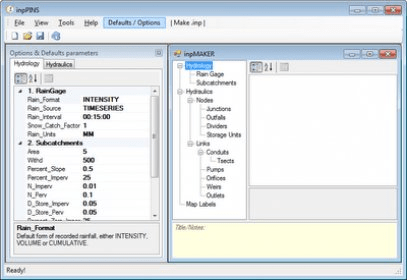
Check out a DEM enhancement and service management suite. Work with the options for generating SWMM input files containing all data for shape and grid sets, then integrate them with RPT elements for integration with your Digital Elevation Model. Confirm all stages.
inpPINS is designed to integrate Storm Water Management Model (SWMM) with Geographic Information Systems (GIS). The main idea is to link SWMM visual objects between these two platforms and not include numerical data that is not necessary to define these objects.
Details
Extensions

No information available
The data will be available later.


Comments